- Write by:
-
Monday, July 15, 2019 - 10:29:26 AM
-
956 Visit
-
Print
Mining News Pro - Venezuelan scholar and forestry expert, José Rafael Lozada, is making public a series of videos where he demonstrates that besides the polemic Mining Arc of the Orinoco River, there is another mining arc devastating Venezuela’s Canaima National Park, which is a Unesco world heritage site, as well as the Caura National Park and the Southern Bolívar State Protective Zone.
Lozada calls the area ‘Indigenous Mining Arc’ and, according to his review of media stories, interviews with local sources and research trips to the area, it is the product of a series of deals that the Pemón tribe made with both the current Nicolás Maduro regime and the former Hugo Chávez regime.
Besides the archival documentation, the expert analyzes satellite and Google Earth images from different years and shows how massive placer gold mining operations that employ dredges have grown anarchically in protected areas. At least three dozen mines of different sizes appear in the region. However, digging deeper using the Amazon Geo-Referenced Socio-Environmental Information Network, Lozada is able to identify over 1,000 ‘mining spots’ or smaller operations.
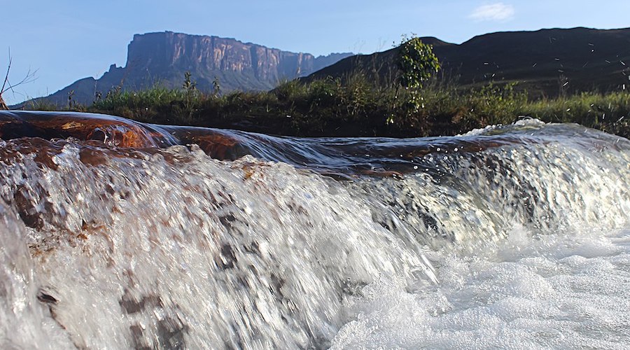
Located to the south of the southeastern Bolívar state, Canaima National Park is the area that hosts the region’s most important rivers watersheds. For example, the entire watershed of the right bank of the Caroní River -the one that generates most of the country’s hydroelectric power- is within the park as are two of the highest waterfalls in the world, Angel Falls and the Kukenán falls. The park also hosts the main forest that connects with the Amazon and the plateaus of rock called tepui formations.
According to Lozada, some of the mines detected there occupy more than 150 hectares and are not only close to important freshwater sources but also to Indigenous towns such as Campo Alegre, where a namesake mine is causing methylmercury or acid rock drainage contamination. Such conclusion is based on what Google Earth presents. The app also shows that the operation, which is also next to the Kukenán river, probably started around 2007 and has been growing ever since.
Following the course of the Kukenán river on Google Earth up to the point where it joins the Aponwao river and both rivers ‘give birth’ to the Caroní river, Lozada shows satellite images of mining works which he saw in person back in 2009. Sediments from these mines -he explains- threaten the Guri dam lake, which feeds from the Caroní and the Paragua rivers and is responsible for 80% of Venezuela’s electricity.
South of this area, along both margins of the Icabarú river, several mines can be observed. As he shows this, the expert explains that this is an area where there is no road and that is only accessible by curiara -motorized canoes operated by Indigenous people.
“The riverine forests around the Icabarú river are being intensely destroyed,” he says in one of the videos. “The river shows a brownish colour which is evidence of mine residue contamination.”
Following his examination -which he also submitted to a peer-reviewed publication-, Lozada concludes that there is evidence of numerous extractive activities in the Canaima and Caura national parks that started more than a decade ago. This means that such activities have nothing to do with the Mining Arc of the Orinoco River, which was created by decree on February 24, 2016.
The problem -he says- is that the existence of the Indigenous Mining Arc is being ignored, as is the fact that, by law, Indigenous peoples in Venezuela are obliged to collaborate in the protection of national parks and natural resources.
Short Link:
https://www.miningnews.ir/En/News/397608
A prefeasibility study for Predictive Discovery’s (ASX: PDI) Bankan gold project in Guinea gives it a net present value ...
Iron ore futures prices drifted higher on Thursday as the latest soft data from top consumer China triggered renewed ...
Rio Tinto said on Wednesday it is teaming up with a global venture studio and start-up investor to back the development ...
Outflows from global physically backed gold exchange traded funds (ETFs) continued for a 10th month in March, but at a ...
Australia’s Fortescue said on Monday it would form a joint venture with OCP Group to supply green hydrogen, ammonia and ...

BMO Bank quietly dropped its policy restricting lending to the coal industry in late 2023, helping it avoid being ...
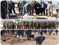
Mining News Pro - The ceremony of commemorating the tree planting day and the beginning of the afforestation project and ...
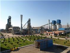
Mining News Pro - The DRI manager of Hormozgan Steel Company's said: According to the plans made in line with the ...

Private credit managers are doing significantly more fossil-fuel deals now than just a few years ago, as they step into ...
No comments have been posted yet ...